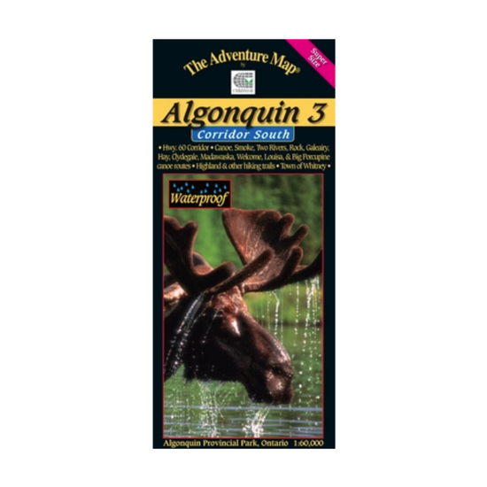
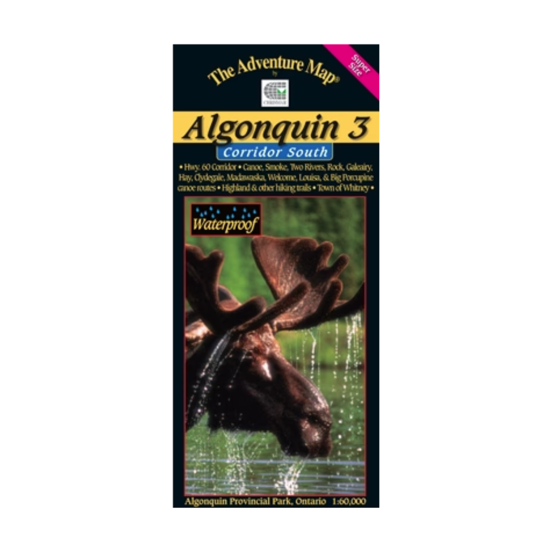
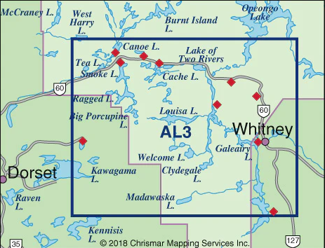
Our detailed topographic map & guide to all paddling routes, hiking & backpacking trails, and attractions all along and well south of the Highway 60 corridor in Algonquin Provincial Park, Ontario. It covers the area from the Town of Whitney in the east, the Kawagama Lake outside the Park boundary in the west, and from Canoe and Opeongo lakes in the north, to Hay and Madawaska lakes in the south. It also shows Dividing Lake P.P. (home of towering old growth white pines) and the edge of our popular Frost Centre guide. See the simple close-up of the map area covered.
In addition to extraordinary terrain and vegetation detail, this map features campsite, portages, access points, hiking trails, facilities like parking, campgrounds, telephones, historic sites and other attractions.
Scale: 1:60,000. Waterproof.
For more information visit www.chrismar.com.