This store requires javascript to be enabled for some features to work correctly.

DON'T SEE A PRODUCT? CALL US OR STOP BY!

Sale
Sale

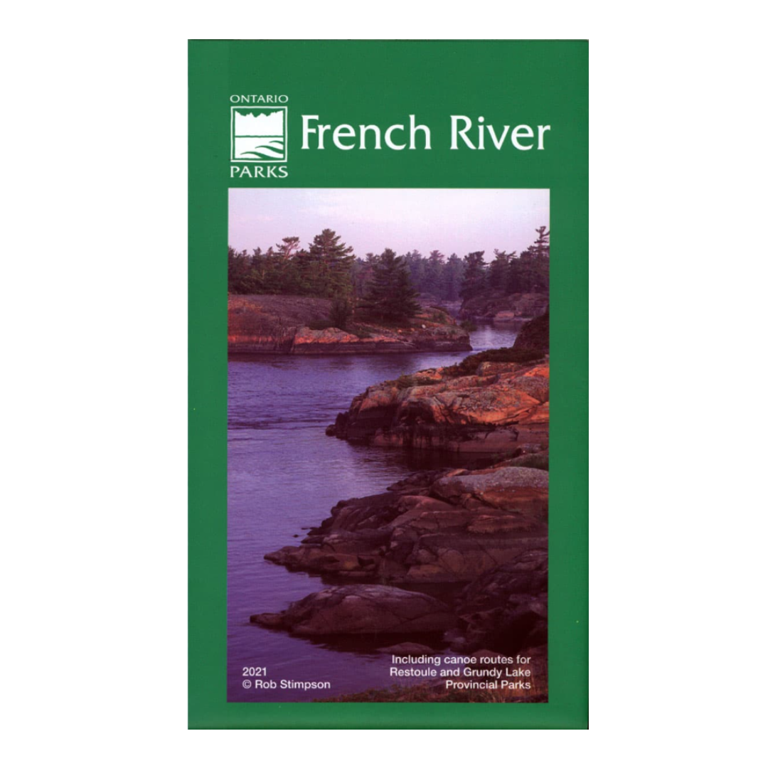
French River Planning Map

  • $18.95

This waterproof edition of the French River Provincial Park can be used both at home as a general reference map for preplanning, and on the water to view the entirety of the park. It provides general detail for basic water detail and vegetation, as well as, campsites, access points, portages and other points of interest to paddlers, with trip planning guidelines and other info around the map edges. It also includes canoe routes for Restoule and Grundy Lake Provincial Parks.

  • Waterproof Material
  • Paddling Routes and Campsite Numbers
  • Newly Updated 2022

For more information visit the Ontario Parks website and www.chrismar.com. 

Don't forget these...