This store requires javascript to be enabled for some features to work correctly.
DON'T SEE A PRODUCT? CALL US OR STOP BY!
Men's
Women's
Don't see it? Check out our store!
Not all apparel sold online. We are currently working on uploading product
FOOTWEAR FOR ALL SEASONS
NOT SOLD ONLINE... YET! Check back with us or call the store!
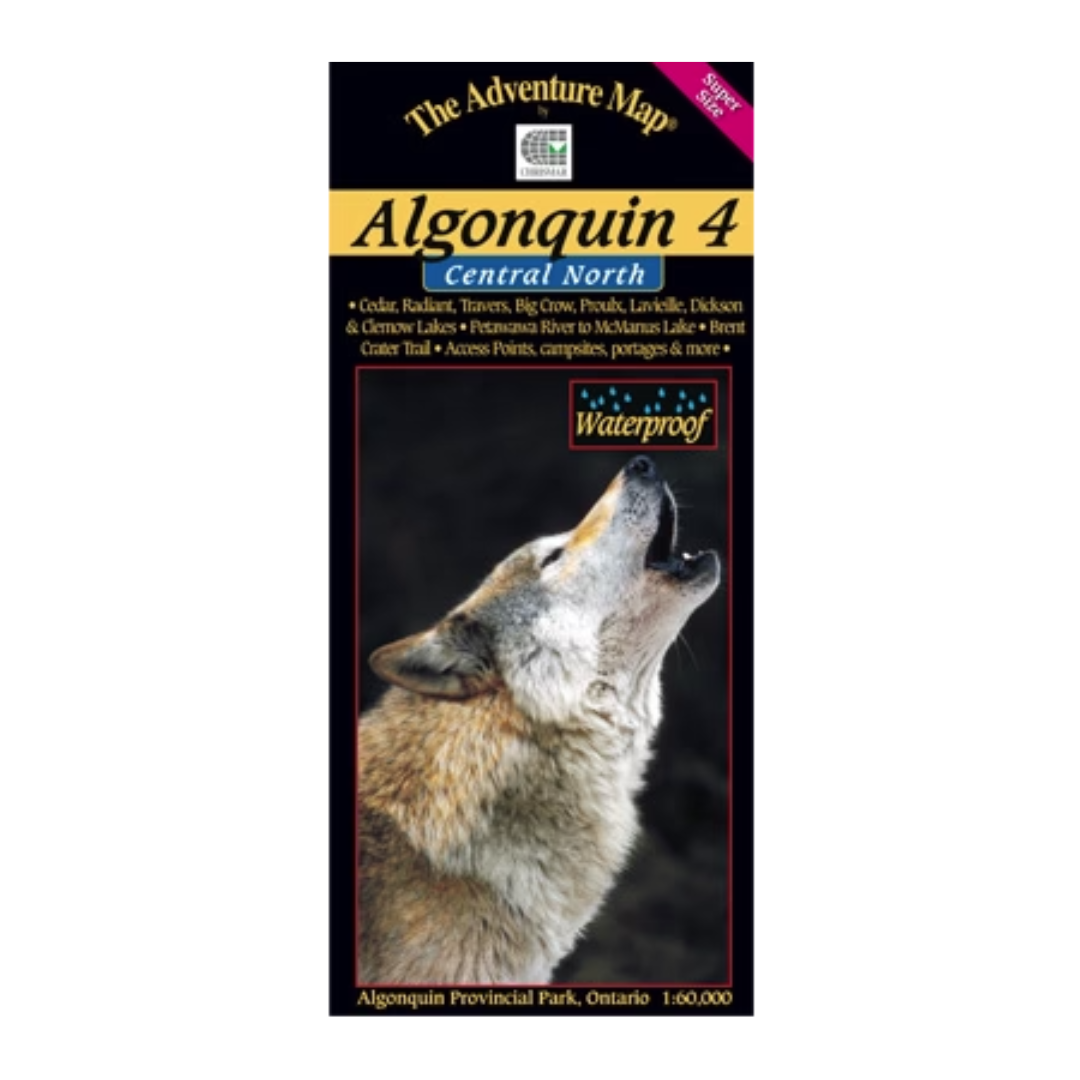
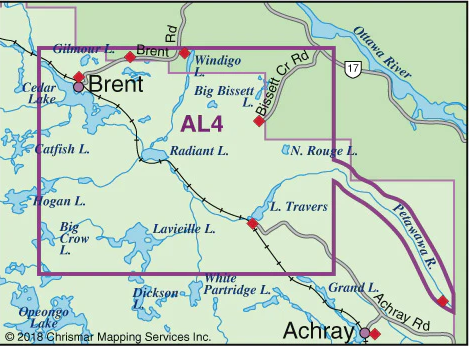
The fourth in our main Algonquin series, this map covers the area from beyond the park boundary in the north all the way south to Dickson Lake, and from Cedar Lake, PLUS we've added the Petawawa River beyond that all the way to McManus Lake at the east boundary of the Park.Aside from the Petawawa River between Cedar Lake and McManus Lake, there are few major Algonquin routes entirely on this map, however it is essential to some superb longer routes that start and end just beyond its borders on our adjacent AL1, AL2 and Barron/Achray maps). Even so, there are 6 access points on this map including several of the most remote in the park, which leads to routes where you're less likely to encounter other paddlers - in the true wilderness parts of Algonquin.
Scale: 1:60,000. Waterproof.
For more information visit www.chrismar.com.
Keep in the loop with us through social media and stay in the know for all things Suntrail SFA